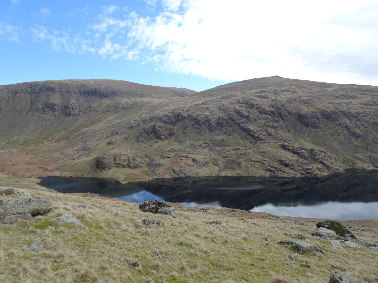
Twin peaks of Ullock Pike and Longside Edge from outside Melbecks.
Taken at 5:44pm.
1 March 2021 | ULLOCK PIKE and LONGSIDE EDGE to SKIDDAW –
descending by BAKESTALL and BIRKETT EDGE.
In the valleys of central Lakeland, a hazy mist draped around the heights and hung in the valleys. High pressure seemed to be in control and it was set fair, but seemed to be sunnier on the far side of Dunmail Raise – so we headed north. The object, to climb Skiddaw by Ullock Pike and Longside Edge. This route, descending via Cockup to Melbecks, is one of my favourite routes in the Northern Fells and brings back many happy memories. Not least, of my association with the great, late, Bill Peascod, pioneer rock climber and influential abstract artist, who, in the 1980’s, lived and owned the property Melbecks, situated near the foot of the ridge.
Despite the age difference Bill and I became great friends and his enthusiasm for all things climbing and Lakeland equalled my own. We had many adventures together and jointly wrote “WOMEN CLIMBING” – in many ways a seminal work on the story of the fairer sex in climbing and mountaineering. Written at a time when Catherine Destivelle and others where knocking at the door of not only being the best women climbers but actually the best climbers. We thought it was a story long due for the telling.
Of all his stunning art his painting of Ullock Pike was, and is, my all-time evocative favourite portrayal of the spirit and magic of the fells. I wonder where it hangs now? Another fact about Ullock Pike round of Skiddaw is that, if completed as described in my “COMPLETE LAKELAND FELLS“, it includes ten ‘BIRKETT’S”! Look it up. If you can’t get a copy – I’m going to re-publish a fully revised version soon.
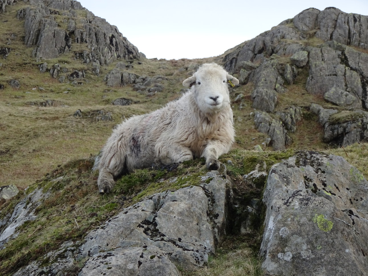
Approaching the usual little lay-by car park we passed a quad bike on which perched a farmer and three balanced Border Collie sheepdogs. Boy, they looked good, as if they had been born to ride on quad bikes! As we passed through the first gate there they were, rounding up the sheep. A few shouts of command, a couple of whistles, and three dogs working in perfect harmony. In a matter of minutes, the whole extensive sloping hillside field had been gathered. Simple!
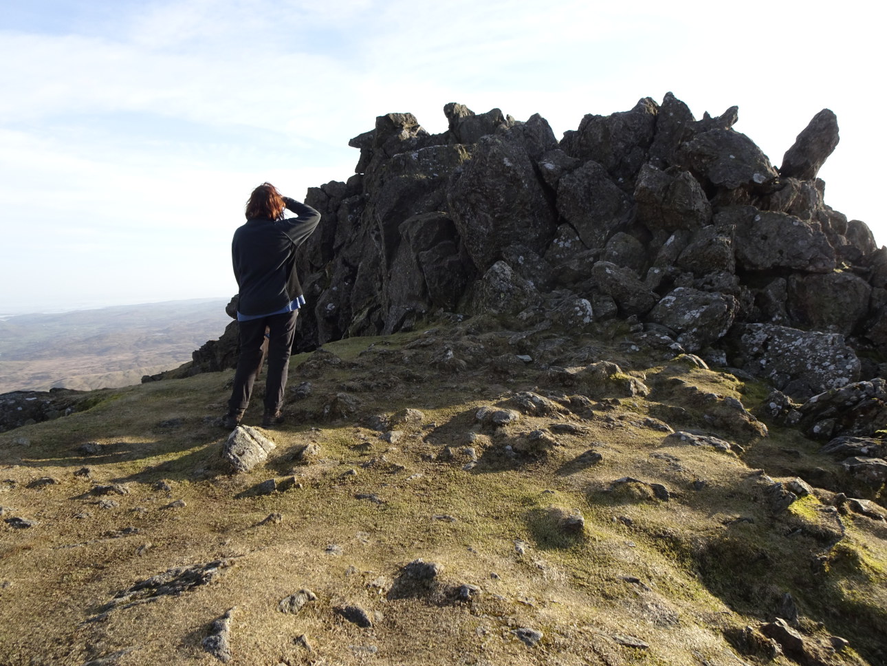
It’s only a LITTLE way to the foot of Longside Edge and the first “BIRKETT”. This, the little top of WATCHES, is geologically fascinating. Its protruding distinctive rocks are quite different to the surrounding Skiddaw Slate. To me, the rock, a volcanic intrusion through the slates, looks like a microgranite and they remind me of the quarried edge in Pembroke from which the Bluestone’s of Stonehenge were extracted. Sure enough, perhaps you noticed in ascent, in the field below the fell wall, there is a standing stone made from this rock. And on closer inspection, it is obvious that the area falling from the summit rocks has been extensively quarried, with piles of sharp broken chips showing that rocks have been shaped and worked here. I wonder if the rocks of Castlerigg Stone Circle were also sourced here?
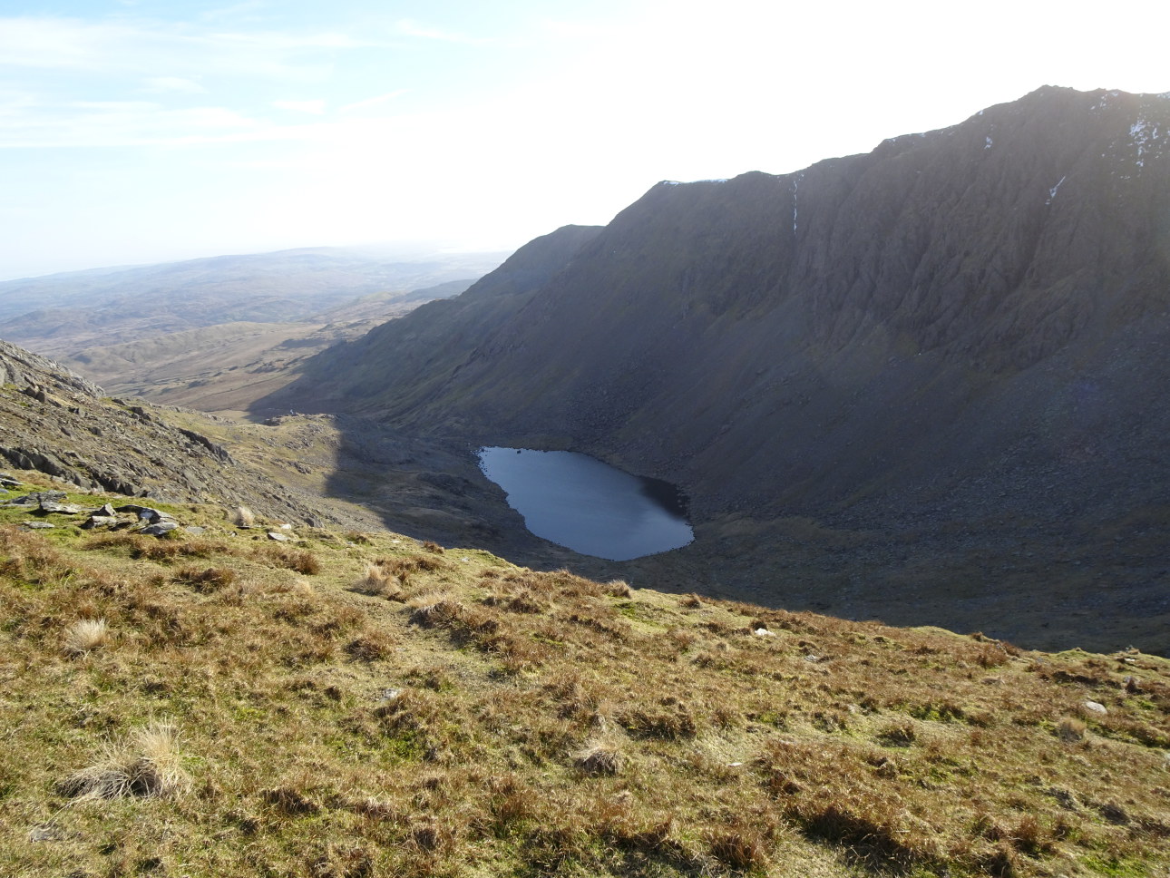
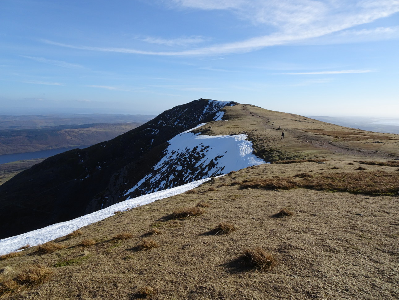
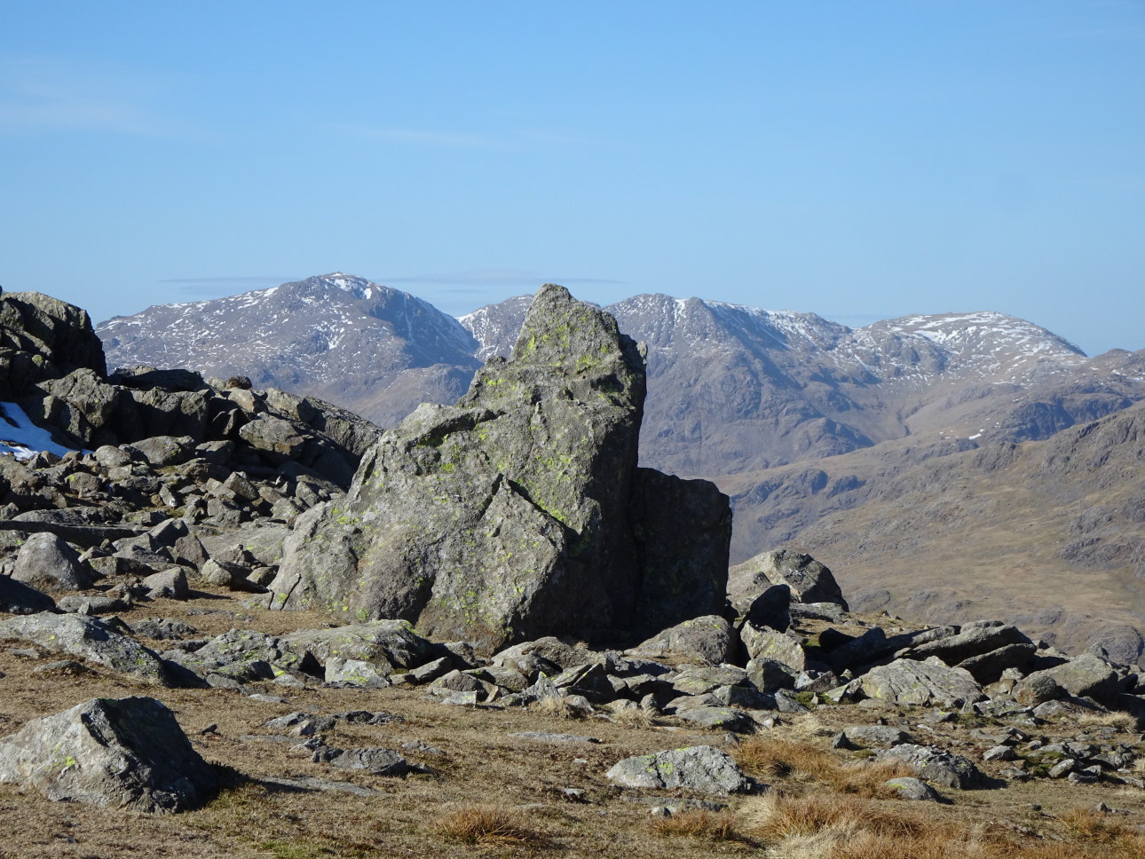
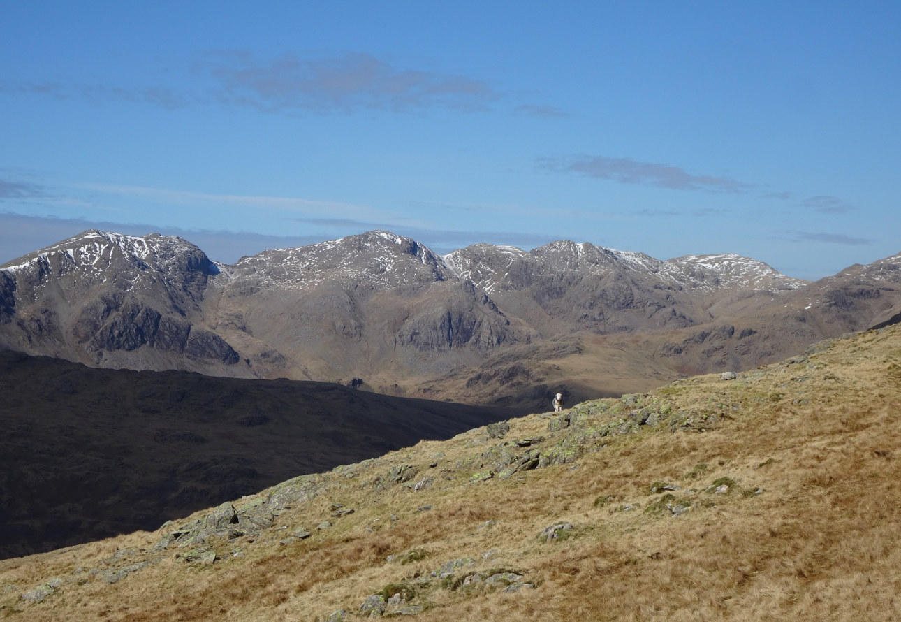
From the ridge directly below, Ullock Pike looks like one great pointed dome. In fact, it is twin peaked. Following a picnic on Long Side, we missed out the top of Carl Side. I don’t have to worry about ticking THE BIRKETT’S – I’ve done them all. So we went straight to climb the steep diagonal pathway leading to the top of Skiddaw Middle Man. After another protracted picnic, down below the summit trig point (and panoramic viewing pillar), we contentedly looked out over the delectable arm of Longside and Ullock Pike. Sheltered from the wind it felt like summer. Smokey blue mists still draped themselves around all the visible fells to our south. To the north, over the Solway, a thick fog-like haze that started white to the west darkened as it extended eastwards. Coming over from Scotland this fog bank appeared as a huge black wall slowly moving our way. The sign of things to come?
I made a joke about the goings-on between Sturgeon and Salmon(d) taking place at the ongoing Holyrood enquiry – saying I thought there was something fishy about both these characters. It raised a smile and went down better than my claim that Cumbria actually bordered on six different counties. ‘The Borders’ being one that most people don’t get.
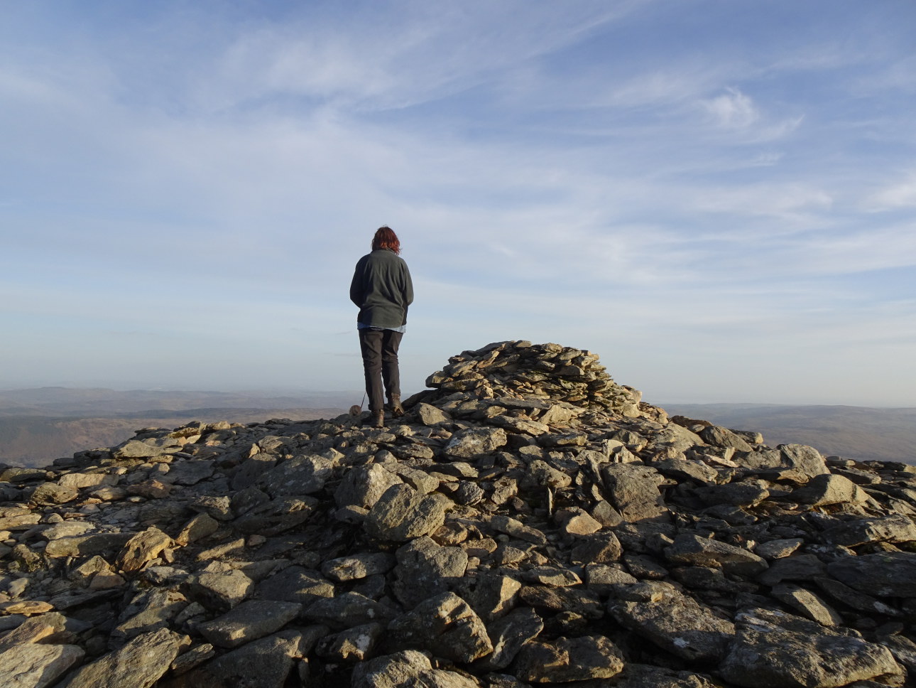
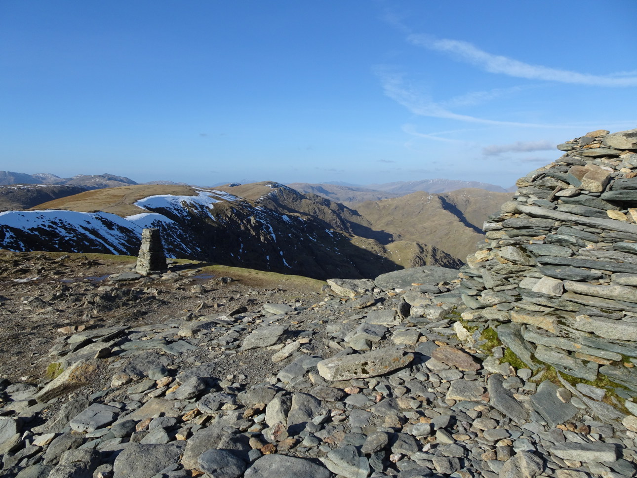
Anyhow, eventually, Deborah and I headed north to make a descent. Because we had time to spare, rather than take in Cockup and go directly down to Melbecks, we descended northwards from Bakestall by the easy-going Birkett Edge. D took my photograph: Birkett on Birkett Edge. Fame at last.
When we passed beneath Dash Farm, idyllically set on the flanks of Little Calva to the north, a sign read “Dash Farm – Self Catering Farm House and Field Barn”. There was an early spring lamb in one of the fields. Then, when we finally passed below the one-time farm of Melbecks, the sign said “Melbecks Holiday Homes”. Signs of the times perhaps, but for me, Melbecks will always be remembered as a real home where Bill Peascod, Etsu, Emma, and I once laughed and joked and where Bill, with climbers hands like shovels and fingers like sausages, produced art that spoke to both heart and soul.


BB on Birkett Edge. Photo Deborah Walsh. Taken at 4:04 pm.

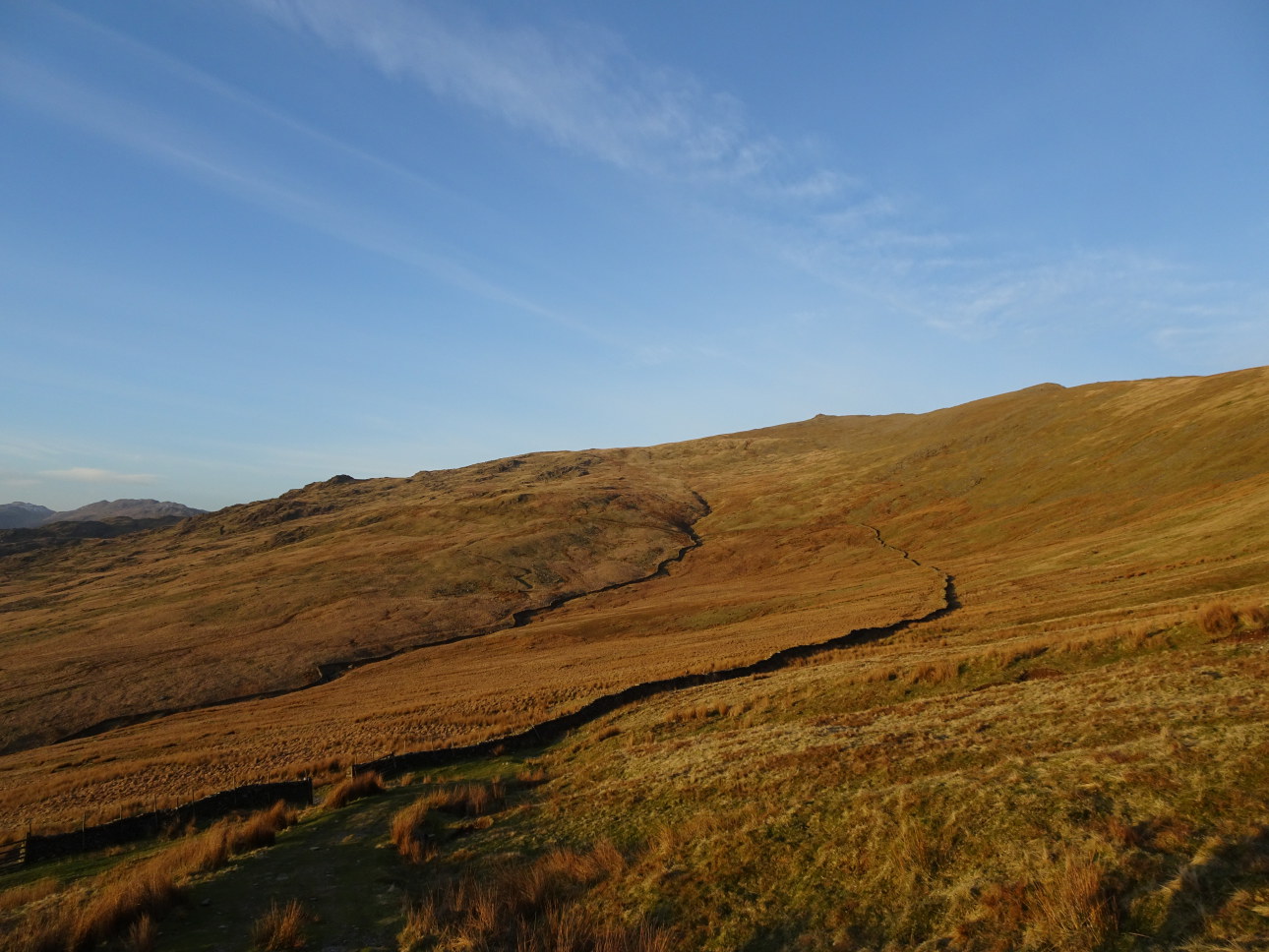
Twin peaks of Ullock Pike and Longside Edge from outside Melbecks.
Taken at 5:44pm.

Border Collie sheepdog in full flight. Look at those eyes.
Taken at 11:04am.

Shieling, probably medieval, on Bakestall
. Taken at 3:44 pm.

The microgranite rocks of Watches.
Taken at 11:34am

The climb to Ullock Pike.
Taken at 12:27pm.

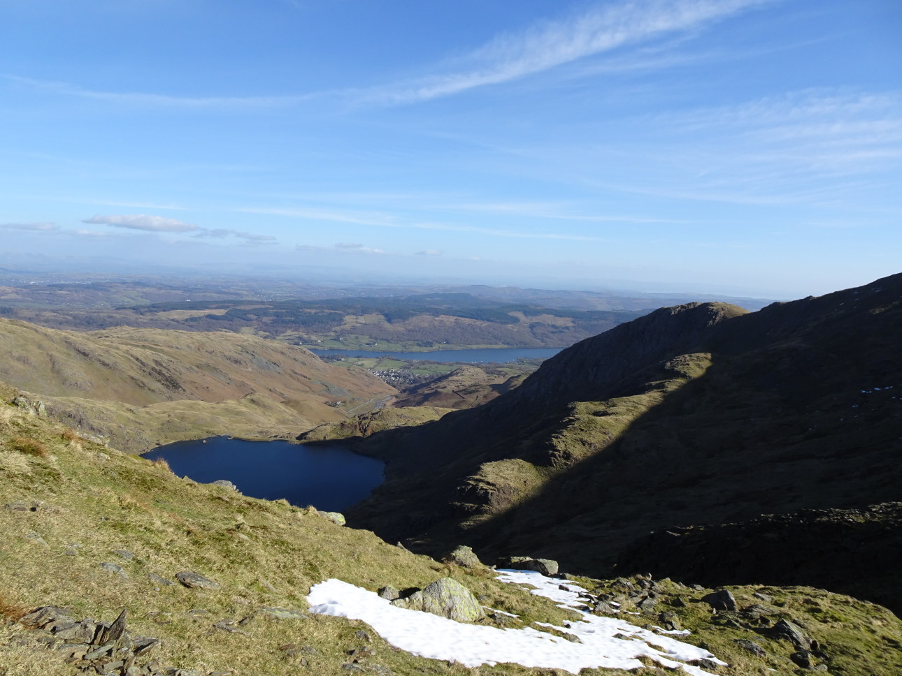
Blue remembered hills.
Taken at 2:14 pm.

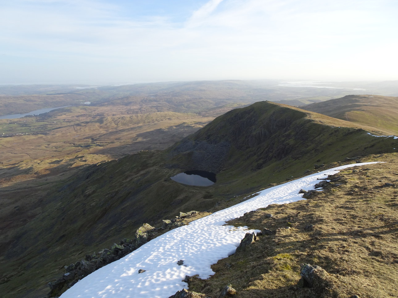
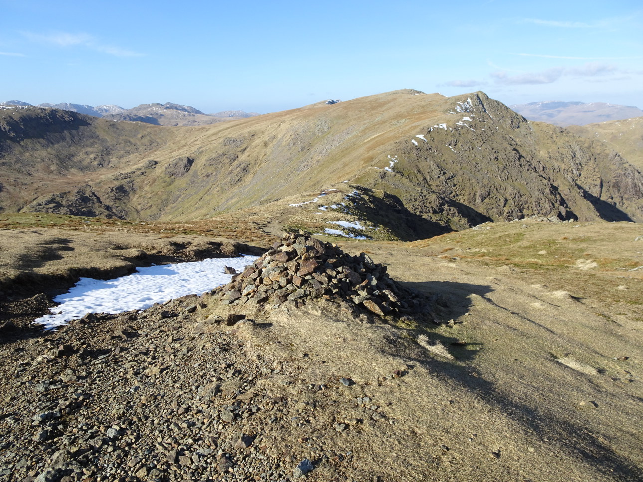
North along Skiddaw.
Taken at 2:24 pm.

Standing Stone below the Fell Wall.
Taken at 11:13am..

Twin peaked Ulllock Pike.
Taken at 1:31pm.

Chiastalite-Slate used to build the shieling.
Taken at 3:46 pm..
5/March/2021 UPPER COPPERMINES
D and I just finished putting my next walking guidebook WALK ULLSWATER AND PATTERDALE to bed. It’s at the printers now, MTP Media in Kendal, and should be ready to go by the end of the month. Though dull and overcast there was time for something to be done. So we headed for Walna Scar intent on walking to Levers Water. It was an unpleasant shock to find that at the end of the surfaced road, which up until recently has been free parking, now sports a parking meter and Rydal Estate is charging £8 per 9hrs! And I thought this was Common Land. Anyhow heading off I wanted to take a slight detour from the regular route and look to see if some relics from the area’s rich industrial past still remained intact. Thankfully despite the ravages of time, this was the case. Next was a visit to the huge Pudding Stone. Climbers scale its height by a number of different routes but the easiest line is obvious and it was the one we took on this rather cold, dampish day. The walk from here to Levers Water is a pleasant one – well defined and not unduly strenuous. Once there we made a circuit around the reservoir before heading back to the bottom of the Walna Scar Road car park.
Looking out over Levers Water.
Taken at 3:06pm.

New parking charges at end of Walna Scar track.
Taken at 12:54pm.

Cheeky Sparrow.
Taken on 2/3/21 at 3:51pm.

Industrial relics. Free hydro power feeds a Pelton Wheel Turbine, which drives an electric motor, which powers a compressor, which pumps compressed air into the pressure cylinder, which pipes the air up to the slate quarries and down to the copper mines, which powers drills etc. Surely all this heritage should be preserved before it’s too late?
Taken at 2:01pm.

D on the Pudding Stone.
Taken at 2:20pm.

Looking over Levers Water to the mines of Simon’s Nick.
Taken at 3:05pm.

Boulder in Levers Water
Taken at 3:48 pm.

Looking to the horrific looking copper mine of Simon’s Nick
Taken at 3:48 pm.

WILL BIRKETT. Blue copper deposits inside Simon’s Nick.

WILL BIRKETT. Crossing the stope of Simond’s Nick, hundreds of fathoms deep, on 200 year old rotting timber stemples. HIGHLY DANGEROUS – YOU WOULD HAVE TO BE UTTERLY MAD TO GO IN THERE!
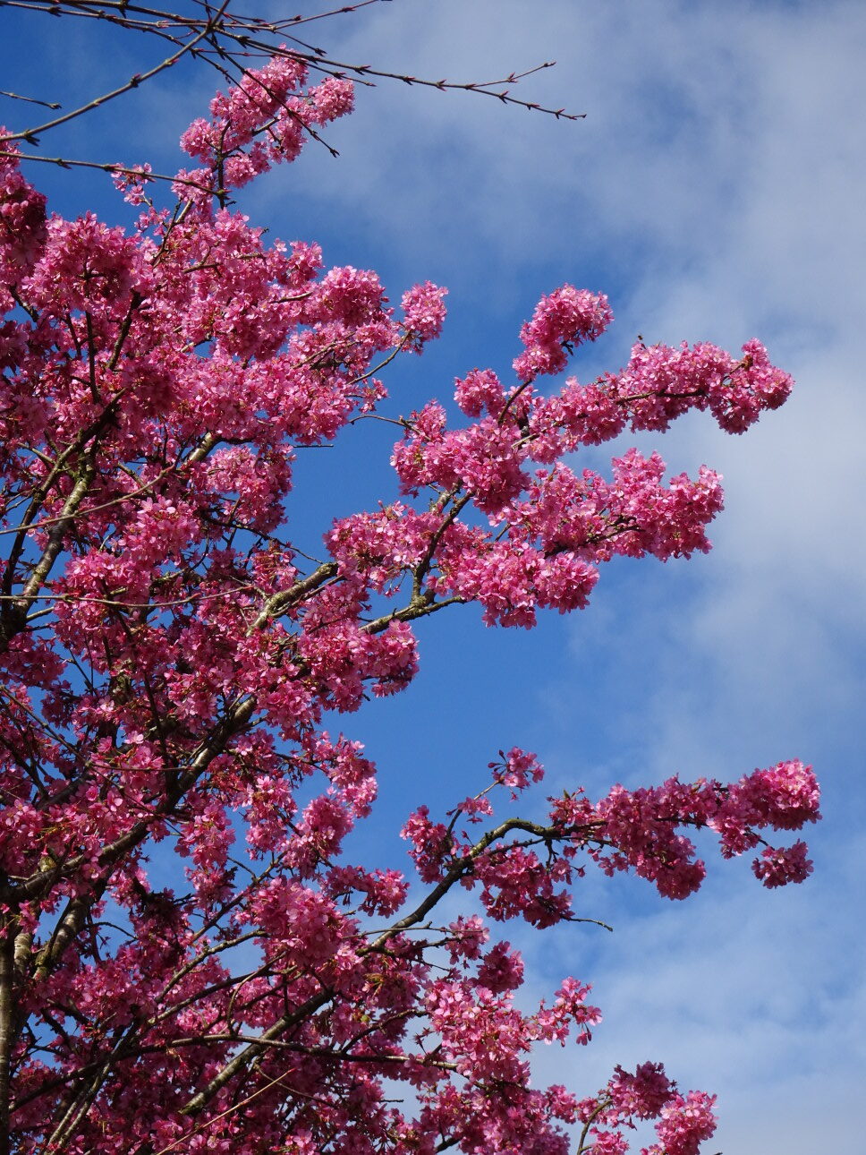
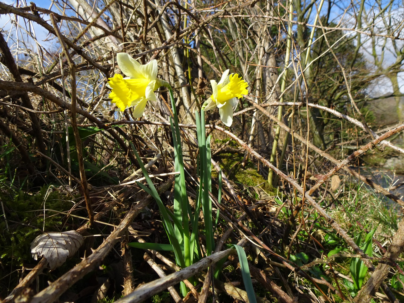
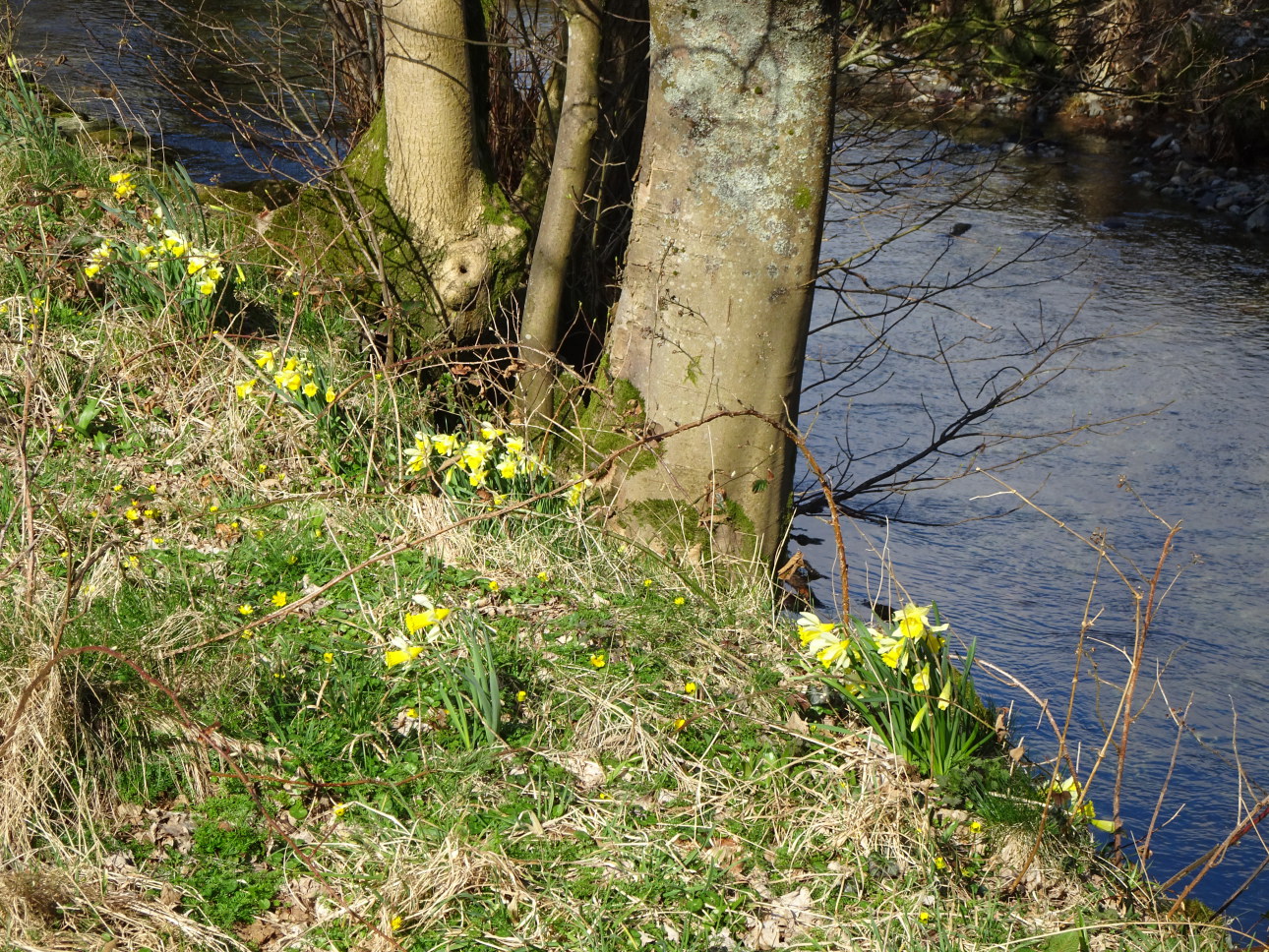
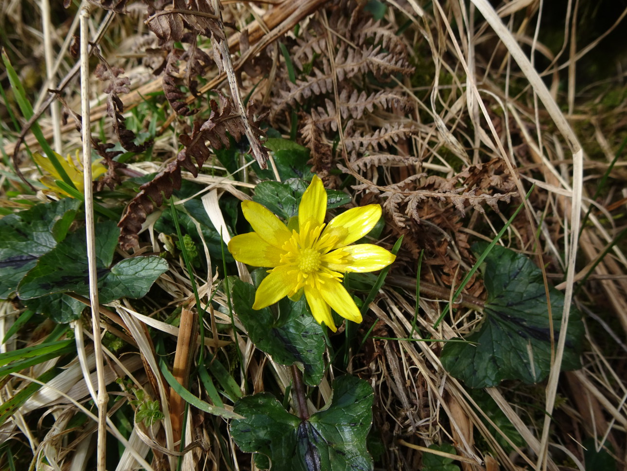
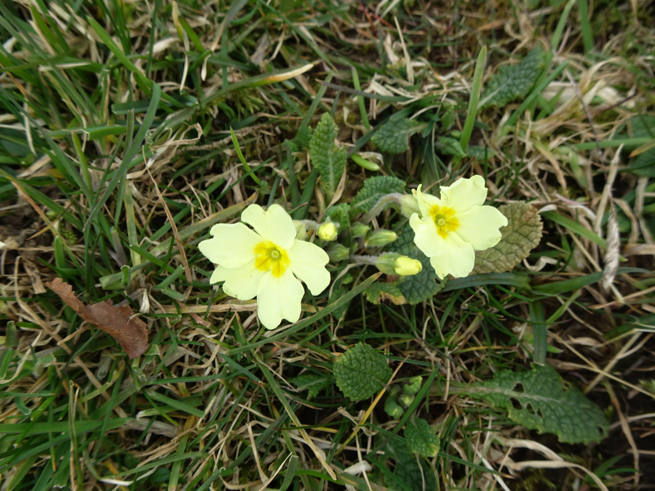
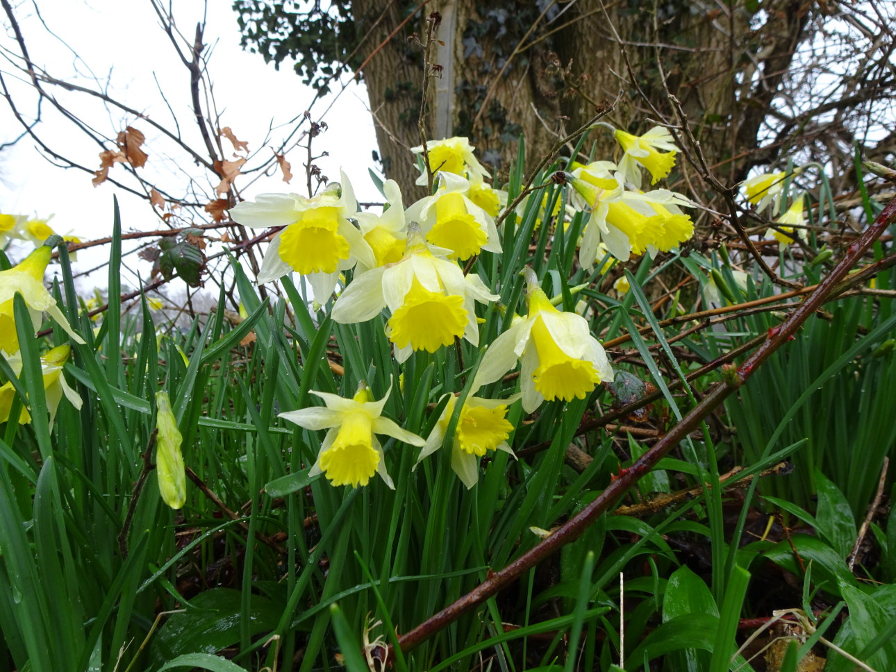
14/March/21 SPRING ARRIVES IN THE LAKES
If you take it as the first flowering daffodil then spring arrived in Grasmere today.
Celandine, primrose and cherry blossom soon followed. So here’s a few pics.